Billings Weather Had Historic Stretch of Subzero Days
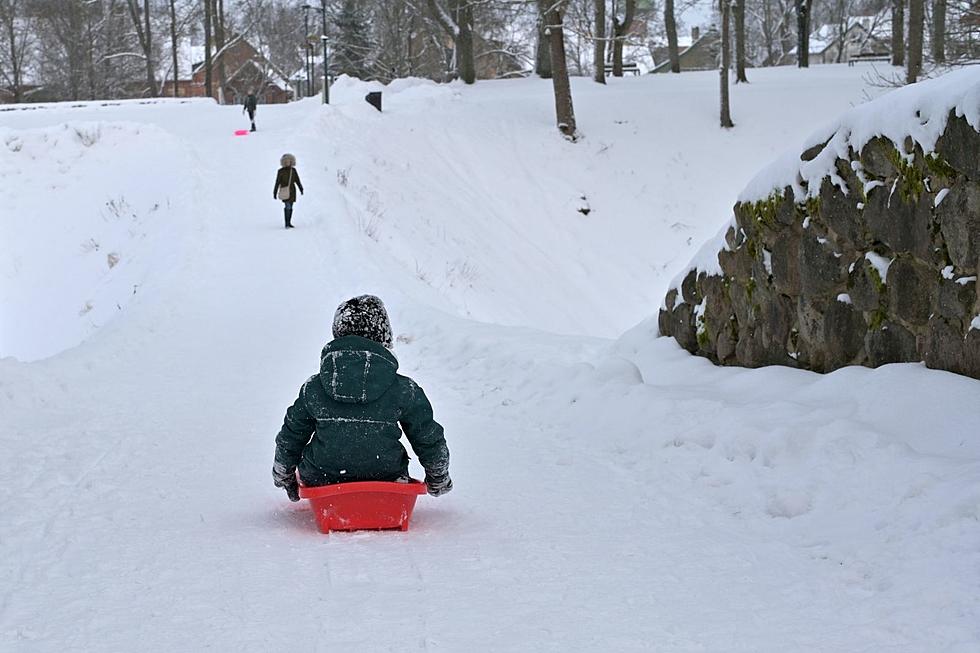
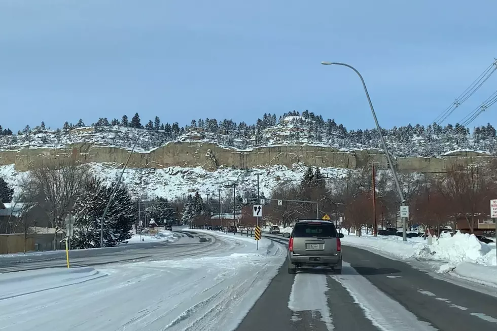
The cold and snowy stretch of weather that we're about to break out of, broke several records for temperatures and snowfall, according to the N.W.S.
A summary of National Weather Service reports from their climate station in Billings showed two new snowfall records were set on February 5, when 5.2 inches of snow accumulated, and the following day (2/6) when there was 6.7 inches of snow recorded in the Magic City.
The recap of the "snow and prolonged cold" from the National Weather Service also reported that the "string of seven straight days with highs below zero at Billings tied for 3rd longest since records began in 1934, and was the longest since 1985." Billings broke one record low on February 11, when it dropped to -15.
CLICK HERE to see the 5 Coldest Days in Billings Weather History.
Livingston had 7 days in a row with high temperatures below zero, which is the longest on record. They also broke two records for low temperatures on February 13 and 14, when the low dropped to -28, and -24. Miles City had three days in a row that broke records from February 12 to 14, when the lows were -31, -28, and -34.

Here are the coldest reported temperatures from around our region, that were recorded at local airports or "cooperative observer stations," according to the National Weather Service:
- Ingomar 9E -44°
- Roundup 15SW -43°
- Brandenberg -40°
- Mizpah -38°
- Hysham -37°
- Springdale -37°
- Baker -34°
- Forsyth -34°
- Miles City -34°
- Broadus -32°
- Hardin -32°
- Columbus -30°
- Bridger -29°
- Livingston -28°
- Billings NWS -27°
The lowest recorded temperature during this cold streak at the Billings Logan International Airport, between February 5 and 14, was -22.
In early February, strong high pressure aloft built over the northern Pacific Ocean, and a northwesterly jet stream developed over western Canada. In addition, there was a tap of tropical moisture extending from near Hawaii to the Gulf of Alaska. The resulting moist northwest flow combined with deepening cold air from Canada produced an extended period of “overrunning snowfall” in our region. -National Weather Service
TIPS: Here's how you can prepare for power outages
More From Mix 97.1