
Heavy Rains Cause Flooding in Downtown Bozeman
Severe thunderstorms bringing heavy rainfall rolled through the Bozeman area Monday afternoon, with more forecasted for Monday evening and night.
The heavy rainfall has prompted a Flash Flood Watch for many areas throughout southwest Montana including Gallatin County. Excessive runoff from heavy rainfall is expected to cause flooding in small creeks and streams, country roads, farmland, and other low lying spots. Motorists are advised to avoid driving vehicles through flooded roadways.
A Flash Flood Watch is in effect for Beaverhead, Broadwater, Gallatin, Jefferson, and Madison counties in SW Montana. The Flash Flood Watch is in effect for portions of central Montana as well.
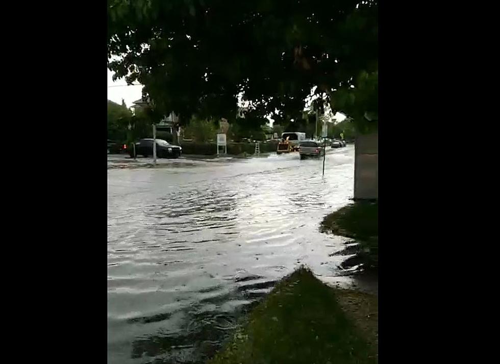
The heavy rainfall from the storm resulted in flooding in many areas of downtown Bozeman. The intersection of W. Mendenhall St. and S. Grand Ave. was completely flooded due to the rain. Portions of many intersections in downtown Bozeman are currently flooded. City of Bozeman crews are on scene directing traffic around large pools of water.
We apologize for the poor video quality, but you get the idea.
A Flash Flood Watch is in effect for the above-mentioned portions of SW Montana until midnight. Areas with burn scars are most susceptible to flash floods, and debris flows are likely. Backcountry roads, particularly those vulnerable to flash flooding, may become impassible or cut off due to heavy rainfall.
Those outdoors are encouraged to seek shelter inside of a building during thunderstorms.
While flash floods are possible, many people in Montana have welcomed the rain with open arms. Firefighters are currently fighting several wildfires throughout Montana, so hopefully, the rain with provide some much-needed relief.
More From Mix 97.1