The temperature got so cold that it inspired an Arizona weatherman to share with his audience how he feels about anyone living or considering a move to Montana.
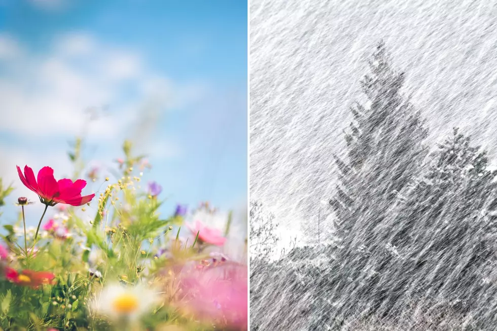
How nice is it to finally feel like we are getting to enjoy some Fall weather here in Montana? Check out this photo from NWS Billings. Plus, if you're hunting in SW Montana...get ready for winter.
Check out these temperatures across about half of the state of Montana. 65 degrees in Red Lodge. 76 in Livingston. 77 in Billings and Baker. And these are just the forecasted highs for Monday.
We're all smoked out up here in the Flathead. What's going on? Same deal for Kelly in Glasgow. Then I looked out our studio windows in Billings- yep, looks like the whole state is smoked out.
I was looking out our radio studio windows this morning, and I thought- this can't be good. Wet roads. Now snow. And a deep freeze right around the corner here in Montana.