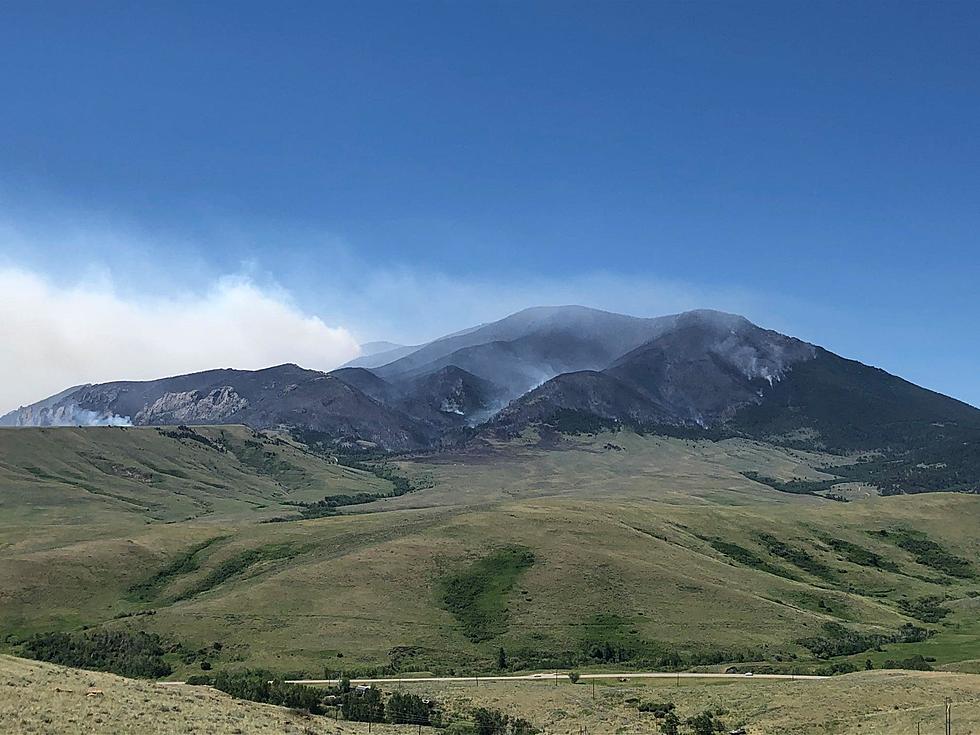
Wildfire South of Red Lodge 69% Contained at Nearly 30K Acres
The 'Robertson Draw' fire that started Sunday, June 13th is located approximately 7 miles south of Red Lodge. As of Wednesday, July 7th the fire is 65-69% contained at nearly 30,000 acres.
This wildfire has been determined to be human caused and is currently under investigation. Here are the basic details of the fire as of July 7th, 2021:
- Total Personnel: 115
- Size: 29,841 Acres
- Percent of Perimeter Contained: 69%
- Location of fire: 7 miles south of Red Lodge
- Date of Origin: Sunday June 13th, 2021 at approximately 2:15 PM
- Fuels Involved: Grass, Brush and Timber. Timber fuels contain a dead and downed component on steep slopes. Brush and grasses slightly curing on low slopes and out in the flats.
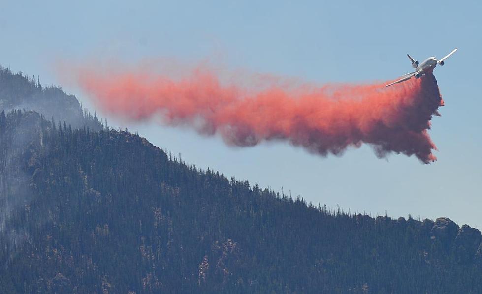
- Significant Events: The dominant fire behavior is creeping and smoldering in isolated areas with very minimal fire behavior overall. Visible smoke in isolated portions of the fire in Division A today (along the fire's western edge.) Today, 07/07, was a warming/drying day after the fire received precipitation from rain showers and thunderstorms on July 3, 4, and 5.
All of the previous evacuation orders or recommendations have been lifted as of July 2nd, 2021. Planes are still being used for fire suppression in areas that are difficult or dangerous for crews to get to.
GOOD NEWS: "Remainder of fire has minimal potential for spread or increase in any activity, unless a thunderstorm passes nearby and outflow winds impact the fire without any associated precipitation."
The National Wildfire Coordinating Group has done a good job at updating this significant wildfire info sheet nearly every day. You can find their main site here.
You can also keep up-to-date with the InciWeb wildfire map. Here, you can get details on all of the wildfires that are burning across the entire country, not just Montana.
See the Must-Drive Roads in Every State
More From Mix 97.1